



Latest Version
Cidade
Travel & Local
Windows
Free
9nblggh4nqf1
Report a Problem
More About GPS Maps Navigation
A Lightweight Navigation Alternative for Windows Users
While many mainstream navigation tools demand heavy system resources, GPS Maps Navigation by Cidade stands out as a remarkably lightweight and stable utility designed specifically for touch-enabled Windows devices. By leveraging reliable open-source mapping data, this application offers a streamlined approach to tracking your real-time coordinates without the bloat of traditional mapping software.
Whether you are walking through a new city or mapping out a driving route, this tool provides a clean interface that prioritizes essential location-tracking utilities. It serves as a dependable digital companion for users who need straightforward, point-to-point guidance on their portable Windows devices.
Key Features of GPS Maps Navigation
The application balances simplicity with several highly practical features designed to make coordinate tracking and route planning as seamless as possible:
- Point-to-Point Location Saving: Easily bookmark your favorite spots, vehicle parking locations, or meeting points directly on your device for quick reference later.
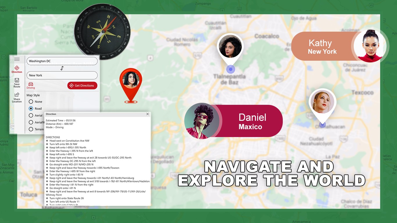
- Flexible Map Customization: Redesign your view on the fly by switching between multiple map styles while navigating.
- Multi-Search Engine: Find your destination efficiently using versatile search options, including direct address lookups and route finding.
- One-Touch Location Sharing: Utilize the smart sharing integration on your Windows device to instantly send your current coordinates to friends or post updates to social media.
- Viewer’s Corner: Access a dedicated space where all your saved locations and custom-named routes are highlighted for organized viewing.
Who Is This Navigation Tool For?
This application is highly suited for Windows tablet and touch-device users who require an offline-friendly reference or a lightweight secondary navigation system. Because it utilizes data from OpenStreetMap and geocoding services from Nominatim, it is an excellent choice for privacy-conscious users and supporters of open-database mapping initiatives. It avoids complex menus, making it highly accessible for beginners who need to locate family, friends, or specific landmarks without a steep learning curve.
Our Editorial Verdict
GPS Maps Navigation delivers a stable, no-nonsense utility that performs exceptionally well on portable Windows hardware. It does not try to compete with feature-heavy, battery-draining alternatives; instead, it focuses on delivering fast load times, precise point-to-point distance calculations, and easy coordinate sharing. If you need a clean, reliable, and light companion for your next journey, we highly recommend exploring this application on the official Microsoft Store.
Rate the App
User Reviews












Popular Apps










Editor's Choice